Twelve Oʻahu communities side by side: drive times to the bases, homes at a glance, schools, parks, and transit, each with a link to the official source.
Open a card for drive times, homes, schools, parks, and transit. Tick Compare on up to 3 cards.
West
ʻEwa Beach
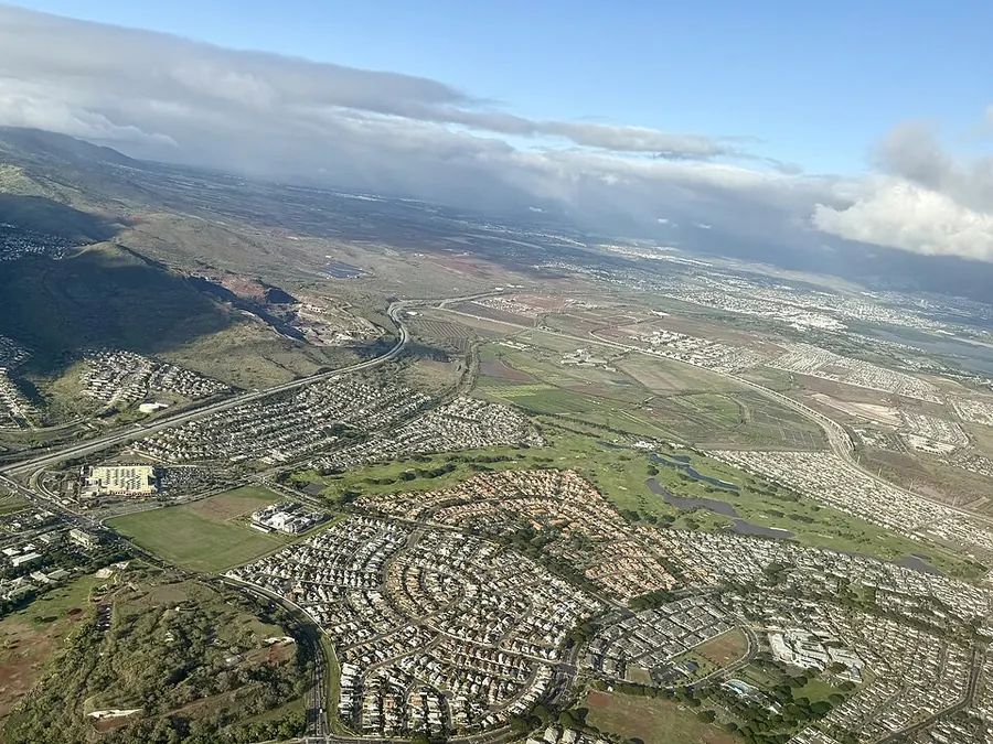
South-shore community on the ʻEwa plain in southwest Oʻahu.
Shortest 7:00 AM drive: Pearl Harbor-Hickam, about 45 min (school-day estimate)
Drive times to bases School-day estimates
School-day drive time estimates from ʻEwa Beach to each base and back
Base (main gate)
To base, leave 7:00 AM
Home, leave base 4:30 PM
Pearl Harbor-Hickam
45 min
55 min
Schofield / Wheeler
45 min
30 min
MCB Kaneohe Bay
55 min
65 min
Fort Shafter
55 min
55 min
Tripler
55 min
60 min
Camp Smith
50 min
50 min
Google traffic estimates for a typical school-day Wednesday, rounded to 5 minutes. Area point = community center; base = main gate. Actual times vary. Try other times in the commute planner
Homes at a glance Census estimates
72.9%of occupied homes are owner-occupied
$2,522median gross rent per month
$748,800median home value, as estimated by owners
38 minaverage commute to work
ʻEwa Beach CDP, U.S. Census Bureau ACS 2020-2024 5-year estimates. Owner estimates are not sale prices. The Census place covers only about 1.2 square miles. Many nearby ʻEwa communities are counted as separate Census places. Census QuickFacts (opens in a new tab)
Schools
HIDOE complex area: Campbell-Kapolei.
Public high schools with a ʻEwa Beach mailing address include Campbell High School.
Your assigned school depends on your exact address.
HIDOE says its locator is for reference only and should not be the sole source for a relocation, purchase, or rental. Confirm with the school directly.
ʻEwa Beach has two Skyline stations: Kualakaʻi (East Kapolei) on Kualakaʻi Parkway, the end of the line, right next to the Kroc Center Hawaiʻi, a highlight of the area; and Honouliuli (Hoʻopili) off Farrington Highway, with a park-and-ride. Keoneʻae (UH West Oʻahu), with a park-and-ride, is right next door between them. TheBus stops at Kualakaʻi and Keoneʻae.
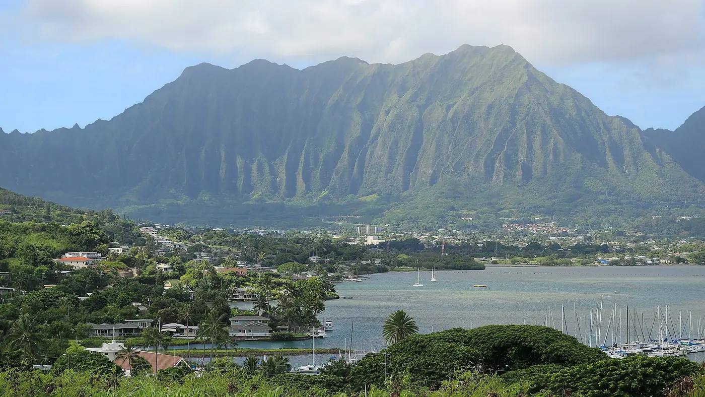
Windward town on Kāneʻohe Bay, across the Koʻolau Range from Honolulu. MCB Hawaii sits on the Mōkapu Peninsula at the bay.
Shortest 7:00 AM drive: MCB Kaneohe Bay, about 15 min (school-day estimate)
Drive times to bases School-day estimates
School-day drive time estimates from Kāneʻohe to each base and back
Base (main gate)
To base, leave 7:00 AM
Home, leave base 4:30 PM
Pearl Harbor-Hickam
20 min
35 min
Schofield / Wheeler
40 min
35 min
MCB Kaneohe Bay
15 min
15 min
Fort Shafter
20 min
25 min
Tripler
25 min
30 min
Camp Smith
25 min
25 min
Google traffic estimates for a typical school-day Wednesday, rounded to 5 minutes. Area point = community center; base = main gate. Actual times vary. Try other times in the commute planner
Homes at a glance Census estimates
76.4%of occupied homes are owner-occupied
$2,269median gross rent per month
$1,029,700median home value, as estimated by owners
HIDOE says its locator is for reference only and should not be the sole source for a relocation, purchase, or rental. Confirm with the school directly.
Communities above Pearl Harbor, between ʻAiea and Waipahu.
Shortest 7:00 AM drive: Pearl Harbor-Hickam, about 15 min (school-day estimate)
Drive times to bases School-day estimates
School-day drive time estimates from Pearl City to each base and back
Base (main gate)
To base, leave 7:00 AM
Home, leave base 4:30 PM
Pearl Harbor-Hickam
15 min
35 min
Schofield / Wheeler
20 min
20 min
MCB Kaneohe Bay
30 min
45 min
Fort Shafter
25 min
35 min
Tripler
25 min
40 min
Camp Smith
20 min
30 min
Google traffic estimates for a typical school-day Wednesday, rounded to 5 minutes. Area point = community center; base = main gate. Actual times vary. Try other times in the commute planner
HIDOE says its locator is for reference only and should not be the sole source for a relocation, purchase, or rental. Confirm with the school directly.
On the Central Oʻahu plateau between the Koʻolau and Waiʻanae ranges, off H-2.
Shortest 7:00 AM drive: Schofield / Wheeler, about 15 min (school-day estimate)
Drive times to bases School-day estimates
School-day drive time estimates from Mililani to each base and back
Base (main gate)
To base, leave 7:00 AM
Home, leave base 4:30 PM
Pearl Harbor-Hickam
25 min
45 min
Schofield / Wheeler
15 min
10 min
MCB Kaneohe Bay
35 min
50 min
Fort Shafter
35 min
45 min
Tripler
30 min
45 min
Camp Smith
30 min
35 min
Google traffic estimates for a typical school-day Wednesday, rounded to 5 minutes. Area point = community center; base = main gate. Actual times vary. Try other times in the commute planner
Homes at a glance Census estimates
81.2%of occupied homes are owner-occupied
$2,384median gross rent per month
$923,900median home value, as estimated by owners
30 minaverage commute to work
Mililani Town CDP, U.S. Census Bureau ACS 2020-2024 5-year estimates. Owner estimates are not sale prices. Mililani Mauka is counted as a separate Census place. Census QuickFacts (opens in a new tab)
Schools
HIDOE complex area: Leilehua-Mililani-Waialua.
Public high schools with a Mililani mailing address include Mililani High School.
Your assigned school depends on your exact address.
HIDOE says its locator is for reference only and should not be the sole source for a relocation, purchase, or rental. Confirm with the school directly.
Central plateau town next to Schofield Barracks and Wheeler Army Airfield.
Shortest 7:00 AM drive: Schofield / Wheeler, about 15 min (school-day estimate)
Drive times to bases School-day estimates
School-day drive time estimates from Wahiawā to each base and back
Base (main gate)
To base, leave 7:00 AM
Home, leave base 4:30 PM
Pearl Harbor-Hickam
30 min
50 min
Schofield / Wheeler
15 min
10 min
MCB Kaneohe Bay
40 min
55 min
Fort Shafter
40 min
45 min
Tripler
35 min
50 min
Camp Smith
35 min
40 min
Google traffic estimates for a typical school-day Wednesday, rounded to 5 minutes. Area point = community center; base = main gate. Actual times vary. Try other times in the commute planner
HIDOE says its locator is for reference only and should not be the sole source for a relocation, purchase, or rental. Confirm with the school directly.
Leeward Coast town between the Waiʻanae Range and the ocean, with beaches and valleys along Farrington Highway.
Shortest 7:00 AM drive: Pearl Harbor-Hickam, about 60 min (school-day estimate)
Drive times to bases School-day estimates
School-day drive time estimates from Waiʻanae to each base and back
Base (main gate)
To base, leave 7:00 AM
Home, leave base 4:30 PM
Pearl Harbor-Hickam
60 min
70 min
Schofield / Wheeler
60 min
50 min
MCB Kaneohe Bay
75 min
75 min
Fort Shafter
70 min
70 min
Tripler
70 min
70 min
Camp Smith
65 min
60 min
Google traffic estimates for a typical school-day Wednesday, rounded to 5 minutes. Area point = community center; base = main gate. Actual times vary. Try other times in the commute planner
Homes at a glance Census estimates
66.7%of occupied homes are owner-occupied
$1,277median gross rent per month
$518,300median home value, as estimated by owners
42 minaverage commute to work
Waiʻanae CDP, U.S. Census Bureau ACS 2020-2024 5-year estimates. Owner estimates are not sale prices. Nānākuli, Māʻili, and Mākaha are counted as separate Census places. Census QuickFacts (opens in a new tab)
Schools
HIDOE complex area: Nānākuli-Waiʻanae.
Public high schools with a Waiʻanae mailing address include Waiʻanae High School, Nānākuli High and Intermediate School.
Your assigned school depends on your exact address.
HIDOE says its locator is for reference only and should not be the sole source for a relocation, purchase, or rental. Confirm with the school directly.
Parks and beaches
Waiʻanae District ParkShinyei Nakamine and 100th Infantry Battalion
Mākaha Valley Community ParkCity park
Māʻili Community ParkCity park
Kalanianaʻole Beach Parkformerly Nānākuli Beach Park
Often called Oʻahu's "second city," with government offices, shopping, and many newer planned communities.
Shortest 7:00 AM drive: Schofield / Wheeler, about 35 min (school-day estimate)
Drive times to bases School-day estimates
School-day drive time estimates from Kapolei to each base and back
Base (main gate)
To base, leave 7:00 AM
Home, leave base 4:30 PM
Pearl Harbor-Hickam
45 min
50 min
Schofield / Wheeler
35 min
25 min
MCB Kaneohe Bay
55 min
55 min
Fort Shafter
55 min
50 min
Tripler
50 min
50 min
Camp Smith
50 min
40 min
Google traffic estimates for a typical school-day Wednesday, rounded to 5 minutes. Area point = community center; base = main gate. Actual times vary. Try other times in the commute planner
Homes at a glance Census estimates
76.5%of occupied homes are owner-occupied
$2,311median gross rent per month
$744,200median home value, as estimated by owners
31 minaverage commute to work
Kapolei CDP, U.S. Census Bureau ACS 2020-2024 5-year estimates. Owner estimates are not sale prices. Makakilo is counted as a separate Census place. Census QuickFacts (opens in a new tab)
Schools
HIDOE complex area: Campbell-Kapolei.
Public high schools with a Kapolei mailing address include Kapolei High School.
Your assigned school depends on your exact address.
HIDOE says its locator is for reference only and should not be the sole source for a relocation, purchase, or rental. Confirm with the school directly.
Between Pearl City and the ʻEwa plain, along H-1 and Farrington Highway, with Waikele and Waipiʻo nearby.
Shortest 7:00 AM drive: Pearl Harbor-Hickam, about 25 min (school-day estimate)
Drive times to bases School-day estimates
School-day drive time estimates from Waipahu to each base and back
Base (main gate)
To base, leave 7:00 AM
Home, leave base 4:30 PM
Pearl Harbor-Hickam
25 min
40 min
Schofield / Wheeler
25 min
20 min
MCB Kaneohe Bay
35 min
45 min
Fort Shafter
30 min
40 min
Tripler
30 min
40 min
Camp Smith
30 min
35 min
Google traffic estimates for a typical school-day Wednesday, rounded to 5 minutes. Area point = community center; base = main gate. Actual times vary. Try other times in the commute planner
Homes at a glance Census estimates
59.7%of occupied homes are owner-occupied
$1,658median gross rent per month
$868,600median home value, as estimated by owners
32 minaverage commute to work
Waipahu CDP, U.S. Census Bureau ACS 2020-2024 5-year estimates. Owner estimates are not sale prices. Waikele and Waipiʻo are counted as separate Census places. Census QuickFacts (opens in a new tab)
Schools
HIDOE complex area: Pearl City-Waipahu.
Public high schools with a Waipahu mailing address include Waipahu High School.
Your assigned school depends on your exact address.
HIDOE says its locator is for reference only and should not be the sole source for a relocation, purchase, or rental. Confirm with the school directly.
Parks and beaches
Bill Balfour Jr. Waipahu District ParkCity pool
K. Mark Takai Veterans Memorial Aquatics Center50-meter pool
Patsy T. Mink Central Oʻahu Regional Parkoff-leash dog park
Hillside and shoreline communities above Pearl Harbor, near Pearlridge.
Shortest 7:00 AM drive: Pearl Harbor-Hickam, about 10 min (school-day estimate)
Drive times to bases School-day estimates
School-day drive time estimates from ʻAiea to each base and back
Base (main gate)
To base, leave 7:00 AM
Home, leave base 4:30 PM
Pearl Harbor-Hickam
10 min
20 min
Schofield / Wheeler
25 min
20 min
MCB Kaneohe Bay
20 min
25 min
Fort Shafter
15 min
20 min
Tripler
15 min
20 min
Camp Smith
10 min
10 min
Google traffic estimates for a typical school-day Wednesday, rounded to 5 minutes. Area point = community center; base = main gate. Actual times vary. Try other times in the commute planner
Homes at a glance Census estimates
75.0%of occupied homes are owner-occupied
$2,844median gross rent per month
$1,065,700median home value, as estimated by owners
25 minaverage commute to work
ʻAiea CDP, U.S. Census Bureau ACS 2020-2024 5-year estimates. Owner estimates are not sale prices. The ʻAiea Census place is small (about 1.7 square miles). Hālawa is counted separately. Census QuickFacts (opens in a new tab)
Schools
HIDOE complex area: ʻAiea-Moanalua-Radford.
Public high schools with a ʻAiea mailing address include ʻAiea High School.
Your assigned school depends on your exact address.
HIDOE says its locator is for reference only and should not be the sole source for a relocation, purchase, or rental. Confirm with the school directly.
Parks and beaches
ʻAiea District ParkCity pool and on-leash dog park
Windward town on Kailua Bay below the Koʻolau Range. The Pali Highway crosses to Honolulu.
Shortest 7:00 AM drive: MCB Kaneohe Bay, about 15 min (school-day estimate)
Drive times to bases School-day estimates
School-day drive time estimates from Kailua to each base and back
Base (main gate)
To base, leave 7:00 AM
Home, leave base 4:30 PM
Pearl Harbor-Hickam
25 min
40 min
Schofield / Wheeler
45 min
40 min
MCB Kaneohe Bay
15 min
10 min
Fort Shafter
30 min
35 min
Tripler
35 min
40 min
Camp Smith
30 min
30 min
Google traffic estimates for a typical school-day Wednesday, rounded to 5 minutes. Area point = community center; base = main gate. Actual times vary. Try other times in the commute planner
Homes at a glance Census estimates
72.3%of occupied homes are owner-occupied
$3,093median gross rent per month
$1,353,700median home value, as estimated by owners
29 minaverage commute to work
Kailua CDP (Honolulu County), U.S. Census Bureau ACS 2020-2024 5-year estimates. Owner estimates are not sale prices. Census QuickFacts (opens in a new tab)
Schools
HIDOE complex area: Kailua-Kalāheo.
Public high schools with a Kailua mailing address include Kailua High School, Kalāheo High School.
Your assigned school depends on your exact address.
HIDOE says its locator is for reference only and should not be the sole source for a relocation, purchase, or rental. Confirm with the school directly.
The urban core along the south shore: downtown, the State Capitol, UH Mānoa, and major hospitals. Homes range from high-rise condos to houses in older valley neighborhoods.
Shortest 7:00 AM drive: Fort Shafter, about 10 min (school-day estimate)
Drive times to bases School-day estimates
School-day drive time estimates from Honolulu (Town) to each base and back
Base (main gate)
To base, leave 7:00 AM
Home, leave base 4:30 PM
Pearl Harbor-Hickam
15 min
30 min
Schofield / Wheeler
35 min
45 min
MCB Kaneohe Bay
25 min
30 min
Fort Shafter
10 min
25 min
Tripler
15 min
25 min
Camp Smith
20 min
35 min
Google traffic estimates for a typical school-day Wednesday, rounded to 5 minutes. Area point = community center; base = main gate. Actual times vary. Try other times in the commute planner
Homes at a glance Census estimates
48.9%of occupied homes are owner-occupied
$1,823median gross rent per month
$843,400median home value, as estimated by owners
22 minaverage commute to work
Urban Honolulu CDP, U.S. Census Bureau ACS 2020-2024 5-year estimates. Owner estimates are not sale prices. This Census place is about 60 square miles, far larger than Town alone, so treat these as broad figures. Census QuickFacts (opens in a new tab)
Schools
HIDOE complex area: Several: Farrington-Kaiser-Kalani, Kaimukī-McKinley-Roosevelt, and ʻAiea-Moanalua-Radford.
Your assigned school depends on your exact address.
HIDOE says its locator is for reference only and should not be the sole source for a relocation, purchase, or rental. Confirm with the school directly.
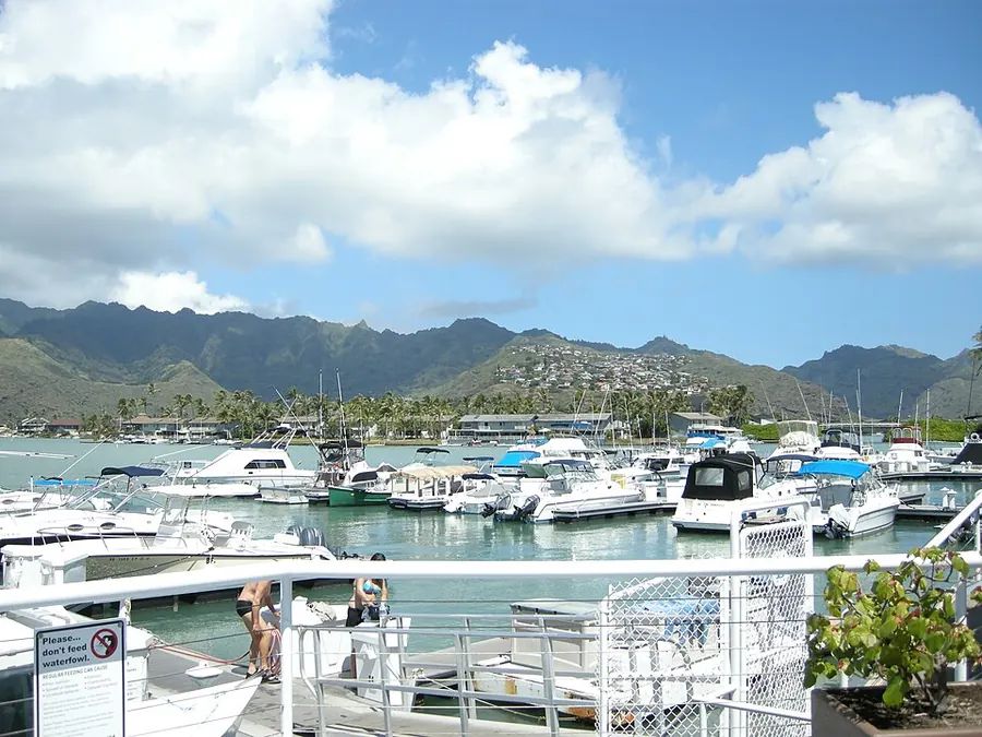
East of Lēʻahi (Diamond Head) around the Hawaiʻi Kai marina, between ridges and the coast. Kalanianaʻole Highway is the main road toward town.
Shortest 7:00 AM drive: Fort Shafter, about 40 min (school-day estimate)
Drive times to bases School-day estimates
School-day drive time estimates from Hawaiʻi Kai to each base and back
Base (main gate)
To base, leave 7:00 AM
Home, leave base 4:30 PM
Pearl Harbor-Hickam
45 min
55 min
Schofield / Wheeler
65 min
65 min
MCB Kaneohe Bay
55 min
45 min
Fort Shafter
40 min
45 min
Tripler
45 min
45 min
Camp Smith
50 min
55 min
Google traffic estimates for a typical school-day Wednesday, rounded to 5 minutes. Area point = community center; base = main gate. Actual times vary. Try other times in the commute planner
Homes at a glance Census estimates
84.5%of occupied homes are owner-occupied
$3,313median gross rent per month
$1,212,000median home value, as estimated by owners
31 minaverage commute to work
East Honolulu CDP, U.S. Census Bureau ACS 2020-2024 5-year estimates. Owner estimates are not sale prices. This Census place covers all of East Honolulu, a much wider area than Hawaiʻi Kai alone. Census QuickFacts (opens in a new tab)
Schools
HIDOE complex area: Farrington-Kaiser-Kalani.
Public high schools with a Hawaiʻi Kai mailing address include Kaiser High School.
Your assigned school depends on your exact address.
HIDOE says its locator is for reference only and should not be the sole source for a relocation, purchase, or rental. Confirm with the school directly.
Parks and beaches
Hanauma Bay Nature PreserveBeach park
Sandy Beach Parkon the City on-leash dog park list
Koko Head District ParkCity park
Elaine Dobashi Hawaiʻi Kai Dog Parkoff-leash dog park
Tick Compare on up to 3 area cards and the facts line up here. Nothing is ranked or scored.
Comparison needs JavaScript. Every fact is also on the area cards above.
How to read these facts
Drive times are estimates
They come from the same data as the commute planner: Google traffic estimates for a school-day Wednesday, rounded to 5 minutes. Holidays, crashes, and weather change them.
Census places aren't neighborhoods
Housing figures are 5-year Census survey estimates for the named Census place, which may be smaller or larger than the area people mean. They are not current prices.
Schools go by address
School assignment depends on the exact address. Use HIDOE's tools and confirm with the school before you sign a lease or contract.