
Home / Moving to Hawaiʻi / North Shore and Waiʻanae
Oʻahu area guide
Living on the North Shore and the Waiʻanae Coast
The Waiʻanae Coast and the North Shore are two different coastlines, and I treat them that way when I guide buyers across Oʻahu. People are drawn here for the beaches and a slower pace, but the drives, the schools, and the housing inventory are not the same.
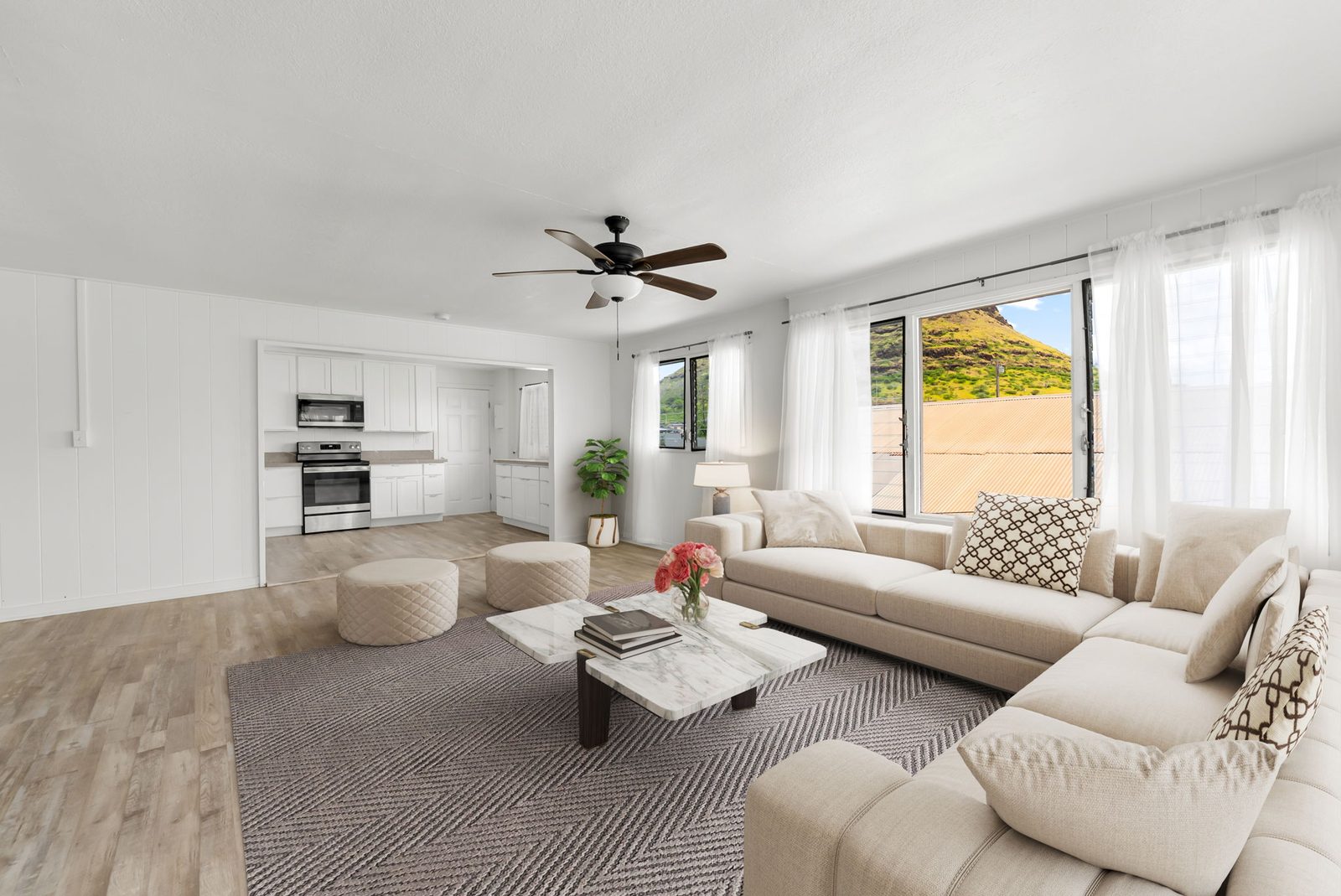
The Waiʻanae side, along Farrington Highway, is the more affordable single-family market, with more listings and more time on market. The North Shore, from Waialua and Haleʻiwa out toward Kahuku, has a smaller, more varied inventory and some much higher-priced homes. What they share is a longer trip to most bases, which is why the commute figures and a careful read of the sales numbers both belong on this page.
Two coasts, not one neighborhood
The Waiʻanae Coast runs along Farrington Highway on the leeward side of the Waiʻanae Range, through Nānākuli, Māʻili, Waiʻanae, and Mākaha.
The North Shore runs from near Kaʻena Point and Mōkūleʻia through Waialua and Haleʻiwa, then along the coast through Waimea, Pūpūkea, and Sunset Beach, and on toward Kahuku.
These coasts meet around the northwest corner of the island, but the daily drives, the schools, and the housing inventory are not the same. The Honolulu Board of REALTORS® tracks them as "Makaha - Nanakuli" and "North Shore."
Drive times to the bases
The commute is the honest part of a move to either coast. The times below are school-day estimates from the same Google traffic data as my commute planner (a typical Wednesday, rounded to 5 minutes, leaving at 7:00 AM and heading home at 4:30 PM). Real times vary.
The planner has a pin for Waiʻanae, not for Haleʻiwa, Waialua, or the rest of the North Shore. North Shore drive times vary a lot depending on whether you are in Haleʻiwa, closer to Kahuku, or out toward Mōkūleʻia, so use the planner with your exact address rather than borrowing the Waiʻanae figures.
| Base (main gate) | From Waiʻanae (to / home) |
|---|---|
| Pearl Harbor-Hickam | 60 / 70 min |
| Schofield / Wheeler | 60 / 50 min |
| MCB Kaneohe Bay | 75 / 75 min |
| Fort Shafter | 70 / 70 min |
| Tripler | 70 / 70 min |
| Camp Smith | 65 / 60 min |
For Haleʻiwa, Waialua, or anywhere else on the North Shore, run the actual address in the commute planner on my PCS page instead of using the Waiʻanae row. Open the commute planner
Getting around
There is no rail station on the Waiʻanae Coast or the North Shore. From the Waiʻanae Coast, the closest stations and park-and-rides are on the ʻEwa side, including Kualakaʻi (East Kapolei), Keoneʻae (UH West Oʻahu), and Honouliuli (Hoʻopili). Keoneʻae and Honouliuli have park-and-rides. From the North Shore, most trips to the bases go through Central Oʻahu (Wahiawā and the H-2) rather than out to the rail. TheBus serves both coasts, along Farrington Highway on the Waiʻanae side and Kamehameha Highway on the North Shore.
Schools
The Waiʻanae Coast is in the HIDOE Nānākuli-Waiʻanae complex area. Public high schools there include Waiʻanae High School and Nānākuli High & Intermediate School.
The North Shore is split across two complex areas. Waialua High & Intermediate School is in the Leilehua-Mililani-Waialua complex area. Kahuku High & Intermediate School is in the Castle-Kahuku complex area and serves the northern Windward and North Shore communities toward Kahuku and Lāʻie. Your assigned school depends on your exact address, so check the HIDOE school finder (opens in a new tab) and confirm with the school directly. HIDOE notes its locator is for reference only.
Parks and beaches
A few parks to know on the Waiʻanae Coast: Waiʻanae District Park, Mākaha Valley Community Park, Māʻili Community Park, and Kalanianaʻole Beach Park (formerly Nānākuli Beach Park).
On the North Shore: Haleʻiwa Aliʻi Beach Park, Waialua District Park, Sunset Beach Neighborhood Park, and Waimea Bay Beach Park. Kahuku District Park sits at the northern end of this stretch.
What homes are selling for
Common questions
How long is the commute from these coasts?
From Waiʻanae, a school-day drive to the Pearl Harbor-Hickam main gate is about 60 minutes at 7:00 AM, and about 70 minutes heading home at 4:30 PM. The drive to Schofield / Wheeler is about 60 minutes in the morning and about 50 minutes heading home. North Shore times depend on where you are. Haleʻiwa and Waialua are closer to Schofield than Waiʻanae is, but I do not have a planner pin for those towns yet, so I would rather run your address than guess.
Why not treat the Waiʻanae Coast and the North Shore as one area?
They are two different coasts. The Waiʻanae Coast faces west, along Farrington Highway, and is the more affordable single-family market, with more listings and longer marketing times. The North Shore faces north, along Kamehameha Highway, and has a smaller, more varied inventory, including some much higher-priced homes. Schools, daily errands, and the drive to each base are not the same.
Can you reach the rail from either coast?
Not directly. From the Waiʻanae Coast, the closest stations are on the ʻEwa side, including Kualakaʻi (East Kapolei) and the park-and-rides at Keoneʻae (UH West Oʻahu) and Honouliuli (Hoʻopili). From the North Shore, most people still drive through Central Oʻahu.
What have homes been selling for on each coast?
The year-to-date sales counts and median prices for the Waiʻanae Coast and the North Shore are in the market snapshot above. The North Shore condo median has a small-sample note in that box.

Let's talk story
If you're drawn to the leeward coast or the North Shore, let's talk honestly about the drive, the inventory, and which coastline actually matches how you want to live.
Matthew Ball, REALTOR® | RS-83609 | Coldwell Banker Realty | 808-256-5039 | matt@mattballrealestate.com
